
When the Sacramento International Airport first opened in October 1967, northern Natomas did not exist. Today, the neighborhood of thousands sprawls along Interstate 5 and if Greenbriar ever becomes a reality, there will be more of us. Regular NATOMAS BUZZ contributor Larry Rodda shares his opinion why now is the time to take a look at landing and takeoff patterns at the Sacramento International Airport.
Fly Straight Sacramento
Commentary by Larry Rodda
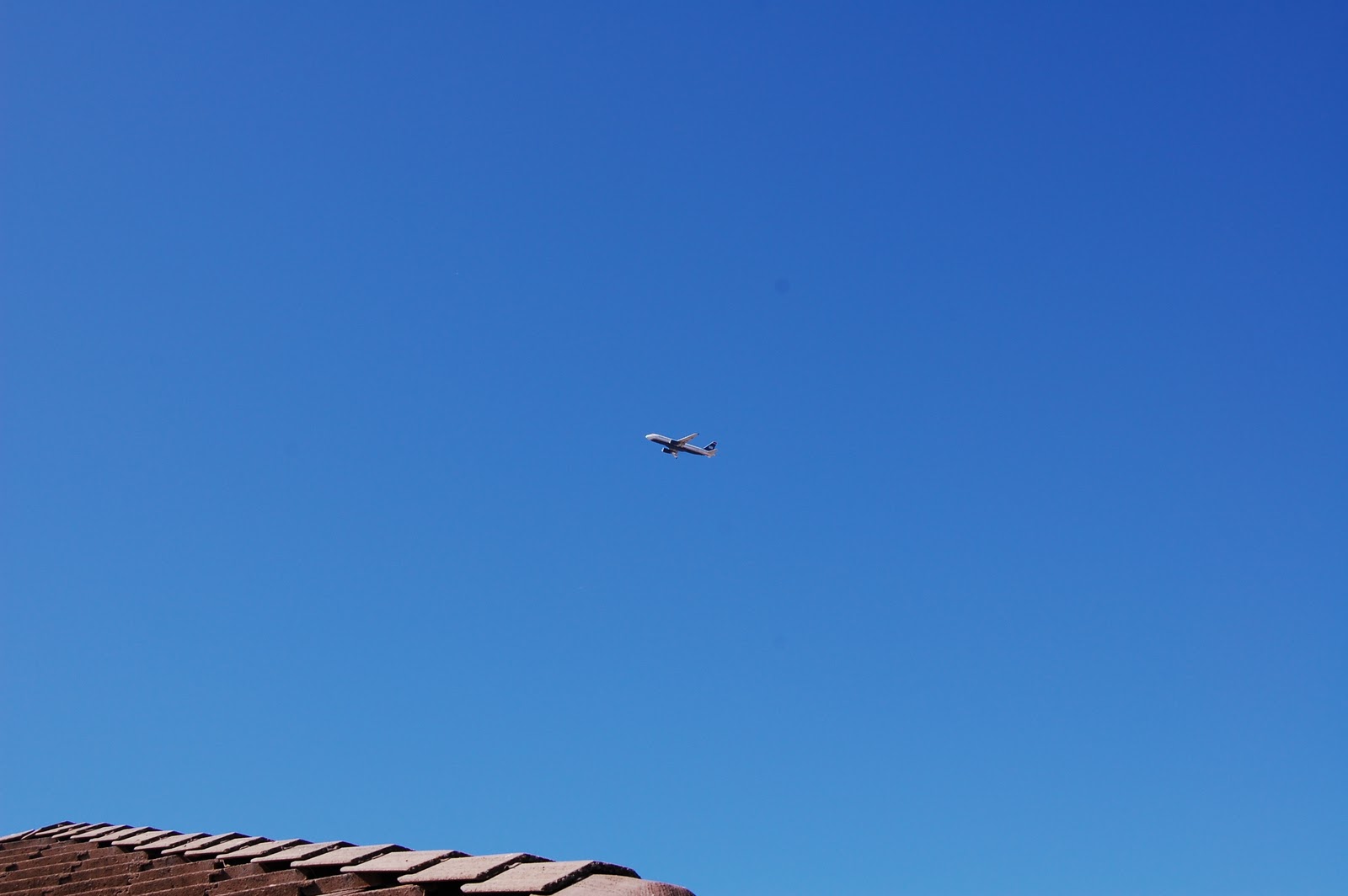
Have you ever watched the planes departing from the Sacramento airport and wonder if they are aiming for Natomas? Maybe they’re fighter pilots in training? These seemingly unsafe and frequently noisy sharp banked turns to the east got me wondering about the rules the planes follow.
Information on the Internet indicates the existing departure procedure for southerly departures from the Sacramento is: “SMF DEPARTURE PROCEDURE: Rwy 16L, climb via heading 164° to 800 before turning east.” Translation: “fly straight off the end of the run way and climb to 800 feet before turning east”.
Looking at a map of the airport area a southerly departure, a climb to 800 ft, and then turning east all but ensures that flights not continuing in a southerly direction will fly over some part of Natomas at a relatively low altitude. Since only turns to the east are allowed most flights, even those north or west bound, will likely turn over Natomas.
A little further research found that a 737 (typical Southwest plane) climbs at about 3,000 feet per minute meaning it reaches 800 ft in altitude in about 16 seconds. At a takeoff speed of around 200 mph, that’s barely across I-5. The plane is barely off the ground and barely across I-5 before banking east. Further research also indicates that 20%-30% of airline accidents happen on take-off and initial climb out.
But wait!! Look at all the unpopulated area to the south of the runway (see map). Why turn so quickly when a safer altitude could be reached by flying over farm land? I’m not sure but I’m guessing these departure procedures have been in place since Natomas was farm land. If that’s the case a change to the departure procedures would seem to be in order. Here are two proposed alternatives:
Change the existing departure procedure to read:
- Best case: Rwy 16L, climb via heading 164° until I-80 before turning east.
- Good case: Rwy 16L, climb via heading 164° until the river before turning east.
Both of the above departure procedures insure that the flights remain over unpopulated areas longer and are at a safer altitude before turning east. There is little cost to changing these procedures and they offer a greater degree of safety and reduced noise.
Either of the proposals is a very minor change to the departure procedures when compared, as an example, to the westerly departure from Orange County (John Wayne) were aircraft are required to rev their engines to the max, climb as fast as the can, and then cut their engines back and essentially glide to the ocean to minimize the noise for the OC folks.
Why fly over populated areas at low altitude when you don’t have to? It’s time for a change in the departure procedures. Fly Straight Sacramento, at least to the river.
REFERENCES:
- SMF DEPARTURE PROCEDURE: Rwy 16L, climb via heading 164° to 800 before turning east. (http://204.108.4.16/d-tpp/1008/SW2TO.PDF )
- 737 – Climbout at 3000 FPM. Takes 16 seconds to reach 800 ft. (http://www2b.abc.net.au/science/k2/stn/archives/archive32/newposts/176/topic176860.shtm )
- 20%-30% of airline accidents happen at takeoff and initial climb out. (http://www.planecrashinfo.com/cause.htm )

“Best case: Rwy 16L, climb via heading 164° until I-80 before turning east”
But won’t this “Best case” send the planes over South Natomas rather than North Natomas. Seems like it would simply be safer for the folks in the north.
TwoBopps – On climb out the planes are normally climbing at about 2000 ft per minute. Going all the way to I-80 or at least the river puts them at a safer altitude and out of the danger zone. The higher the better before turning over populated areas.
In addition, looking the map (http://goo.gl/maps/K2gq), if the planes didn’t turn until reaching I-80 they would be over downtown.
It’s safer because they are at a far higher altitude when they cross over South Natomas. If you look at safety data, you’re far less likely to see a crash from the altitude they would be at by that time.
Not only would the be higher (safer and quieter) if the waited until I-80 to turn they would be turning over downtown, not Natomas (north or south). See map here: http://goo.gl/maps/BabE
You’re missing half the equation. Airplanes arrive and depart at an airport. The reason for the initial turn to the east is to get away from arrivals coming in from the south. (Look at the WRAPS 5 Arrival).
The quoted statistics show 12% of the fatal accidents happen on takeoff (airplane still on the runway) and only 8% during initial climb (the early turns you’re worried about).
Shouldn’t you folks have thought about this BEFORE building all those houses? I’m surprised you don’t want to move the airport!
This cracks me up. You moved to a neighborhood with an airport. I agree about changing patterns if there’s no reason not to. Otherwise, live with your decision to live where you do. Same with people who moved into developments built in the flight path of Mather.